This package defines geographical geometry objects, like polygon, point, polyline etc
|
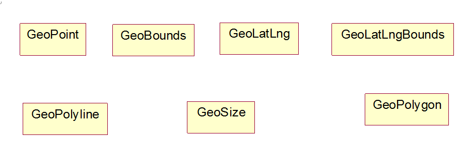
GeoBounds
|
GeoBounds is a rectangular area of the map in pixel coordinates
|
|
GeoLatLng
|
GeoLatLng is a point in geographical coordinate’s longitude and latitude.
|
|
GeoLatLngBounds
|
GeoLatLng is a bound in geographical coordinate’s longitude and latitude.
|
|
GeoPoint
|
A point representing a location in (x, y) coordinates space, specified in integer precision.
|
|
GeoPolygon
|
Polygon on map.
|
|
GeoPolyline
|
Polyline on map.
|
|
GeoSize
|
The GeoSize class encapsulates the width and height of a component (in integer precision) in a single object.
|

Leave a comment